 | |
| Sanborn Title 1918 |
In the
mid-1800s the fledgling insurance industry in the United States was in need of
reliable resources to determine their risks and subsequent rates. It was clear
that in the growing urban areas of the east, an insured property was impacted by
a number of factors besides its own characteristics. What structures were in
the immediate area? Of what material were the neighboring buildings
constructed? Where was the nearest firehouse? What were the prevailing winds?
These were among several questions answered by a new and valuable reference
tool: the fire insurance map.
 |
| Sanborn Title 1919 |
However, initial growth
was tempered by the outbreak of the Civil War.
 |
| Sanborn Book |
 |
| Sanborn Map of Downtown |
Following the war, a new name entered the business, Daniel Sanborn. Sanborn created some Tennessee maps under contract before realizing the potential lucrative nature of the business. In 1867, he founded the Sanborn Map and Publishing Company. His maps introduced a distinct use of colors and key symbols to make the data easier to quickly process and understand.
 |
| Sanborn Key |
Thanks to the
growth in industry, population, and western expansion, The Sandborn Map and
Publishing Company rode the wave of the Industrial Revolution to great success.
By 1915, through merger and acquisition, the Sanborn Company, as it was
then-named, held a near-monopoly on the business. Through those years, the
Sanborn Company accumulated detailed maps on virtually every city in America
with a population exceeding 2,000. This collection of maps, once of incredible
importance to insurance underwriters, has become an invaluable source of
information for a variety of other purposes, including local history.
Fortunately, these once highly-guarded documents are readily available to you
and me.
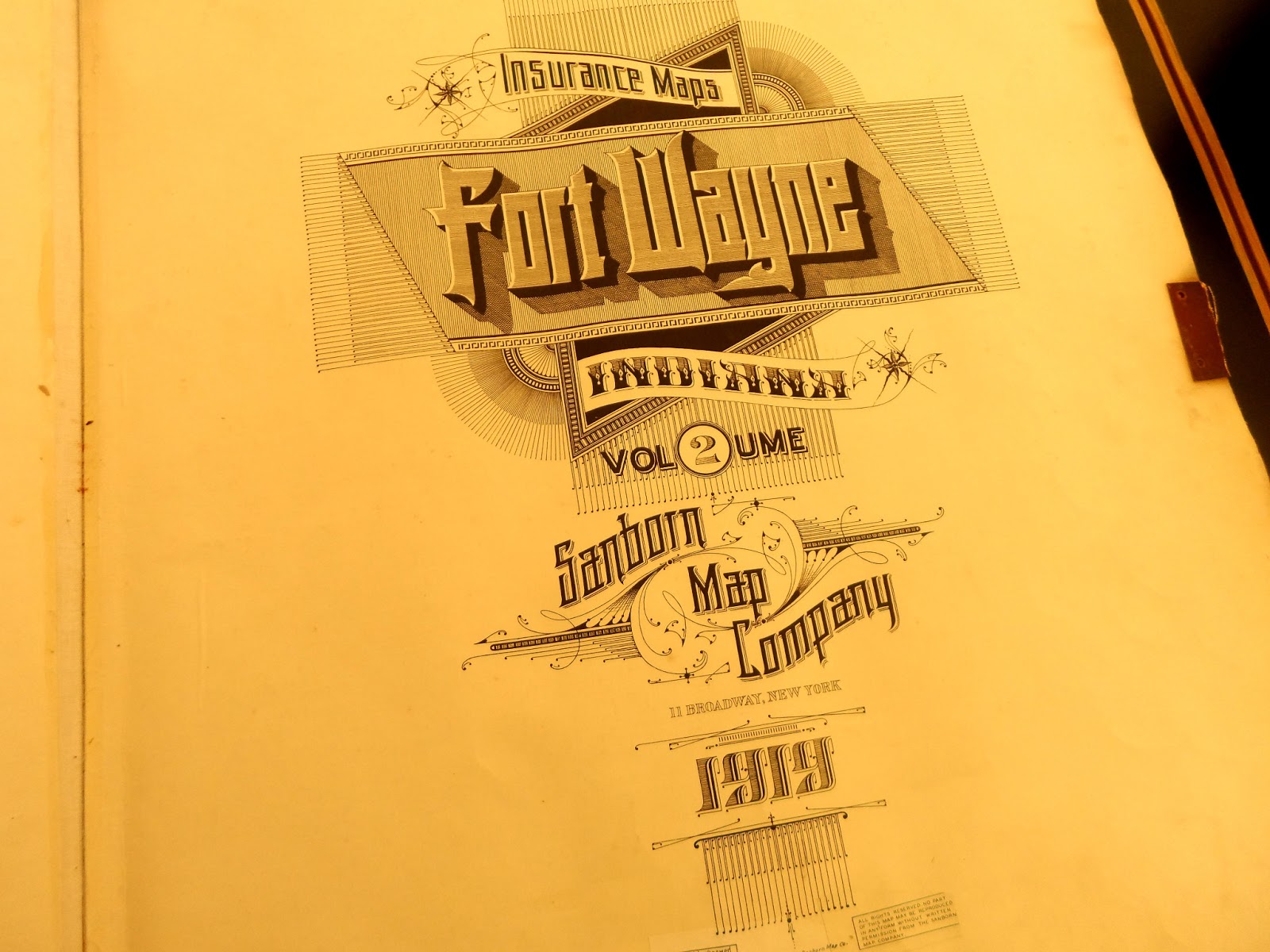
The
Genealogy Department of the Allen County Public Library houses two multi-volume
sets of original, oversized, leather-bound 1918-1919 editions (977.202 F77SAN
Oversize). The publications hold 21” x 25” pages of heavy stock with detailed
maps at a scale of 50’ to an inch. At the front you’ll find a detailed key
specifying property and structural details. You’ll also find an overview
indicating the page number for specific sections that are generally 4-6 square
blocks in size. In the rear of the publication you’ll find a glossary to locate
maps by street names and numbered addresses.
These volumes are working copies that were updated through the early 1950s. Through the years the Sanborn Company would provide new pages or “paste-overs”. These “paste-overs” were corrections printed on semi-transparent paper which were then pasted atop the original map. In some cases corrections were pasted atop earlier corrections resulting in a visual history of change with a somewhat three-dimensional feel. Nowhere is this more present than the pages for the several blocks surrounding the Allen County Courthouse. Since the maps were updated through the mid-1950s they provide a clear view of downtown Fort Wayne at the peak of its role as the business and retail center of the community.
 |
| Wolf and Dessauer |
You’ll find
the Wolf & Dessauer Department Store later destroyed by fire, its
competitor The Grand Leader, and several multi-story hotels that were thriving
downtown. In most cases you can read through the paste-overs to see the
businesses or structures that preceded the last entry.
You’ll find long lost buildings, like the many structures of the former Indiana Home for the Feeble-Minded that stood on what is now Northside Park on East State. Keep in mind the accuracy of the 50’ to 1” scale which allows you to determine the actual locations of anything found on the pages of these beautifully rendered maps.
I am a lover
of maps and books. To me there is no substitute for handling the real thing. In
this case, there is a palpable sense of history turning each page of the
massive Sanborn volumes. At the same time, I’m a creature of the internet so I
was pleasantly surprised to find the Sanborn maps online.
The Sanborn
Map Company and its holdings have changed hands since its heyday in the 1930s.
The assets, primarily the maps, are currently owned by Environmental Data
Resources (EDR), which integrates original Sandborn data with current GIS data
to determine potential environmental risks with current-day property. However,
their exclusive rights pertain only to maps and data post-1924. The thousands
of pages of color-coded maps produced from 1883 through 1923 are in the public
domain. As such, these maps are available with no use limitations. You can
download, view, and print as you wish thanks to the Indiana Spatial Data Portal (ISDP), a combined effort of
federal, state, and local organizations and agencies hosted online by Indiana
University. In conjunction with Historical Information Gatherers, Inc., all the
original Sandborn maps for Indiana communities were scanned into an ISDP
database and are available at the ISDP
website.
On the menu at the home page select Dataset Information,
then select Sanborn Historic Maps. On the Sanborn Historical Maps page select
Single File Interface. Once there you can specify the location you desire.
You’ll need a PDF viewer on your computer but no other special software is
required. In the PDF format you can expand at ease making the small print
readily accessible to aging eyes like mine.
For Fort Wayne you’ll find full surveys from 1890, 1902, and
1918-19. Unlike the large paper maps you will not find the semi-transparent
paste-overs. This is helpful when searching for the earliest land use on record
which can be obscured by multiple paste-overs. You’ll also find surveys for
several other communities in Indiana that you can search from the comfort of
your own computer chair.
The Sandborn Maps are but one of many resources available to
you on your journey through local history. But, be prepared to walk away with
more mysteries to solve than questions answered. If you find your way to the
Genealogy Department of the ACPL to peruse the oversized pages of the three
volumes of maps please enjoy your trip,
consult with the nice people at the Help Desk, and be very, very sure you put
your phone on vibrate. Believe me, you’ll be glad you did!
Some
helpful resources:
Fire
Insurance Maps, Oswald, GC973 0s9fi. ACPL,
A brief
history of Fire insurance maps.
Description
and Utilization of the Sanborn Map, Sanborn Co.,
GC929
SA539, ACPL, A guide to map use published by the Sanborn
Company.

No comments:
Post a Comment